If you can see Mt. Baker, you are part of The Experience
Spend enough time in the North Cascades and you're bound to end up in Fred Beckey's footsteps. Whether it's his writing, his name on climbing routes or just stories about his adventures, the German-born climber who cut his teeth in the Cascade Range is still everywhere.
Which is why I was so surprised when, a few years after he died in 2017, I learned about a long-lost map. I was reading a trip report about a high alpine traverse in the Chilliwack River Valley, and in the preamble, the writer referenced “Fred Beckey’s Adventure Map.”
Surprised I had never heard of it, I pulled out my phone and put the phrase into Google. There were plenty of articles that used Beckey’s name and the words “map” and “adventure,” but no record of an actual map.
I texted a few friends to ask if any of them knew anything about the map. From climbing guides to writers, no one knew anything about it. Even Sam Waddington, who owns Mt. Waddington Outdoors in Chilliwack and grew up on stories about Fred Beckey, never heard of it.
“It's about as close to a treasure map as you get,” he said. “Not only would it be out of print, but the information in it is largely forgotten.”
I needed to find this map.
Like all climbers in the northwest, it didn’t take long for me to recognize Fred Beckey’s long shadow. One afternoon, his ghost even showed up in the back of my ambulance.
I was stuck in traffic, working as a paramedic transporting a woman from Squamish to a facility in Vancouver. A massive bike race had shut down most of the highway. Instead of a quick 45 minutes, it was a four-hour ordeal. I had exhausted my medical questions and was relieved when the woman chimed in. She told me about growing up exploring the local mountains with her three children, eventually landing on her son’s old climbing buddy.
“He was always showing up for dinner and eating all my food,” the woman complained with a huff. "Anytime he came over, there would be canned food missing when he left.”
She said the guy had made it to be a famous climber. His first name was Fred, but she couldn’t remember his last name.
“Was it Beckey?” I asked.
“Beckey! Yes!” she exclaimed. “He was a real bum.”
When a basic Google search didn’t turn up anything about the map, I went old school. I stopped into mountain town bookstores, often repositories for old and out-of-print maps and guidebooks. I emailed a few other places. Most had copies of Beckey’s books, but none had ever heard of the map.
By the time he passed, Beckey had written nearly a dozen books. On top of his three-volume “Cascade Alpine Guide” series, he penned guidebooks for Mt. Rainier, Index and other climbing areas throughout the Cascades. He wrote about his own climbing in “The Challenge of the North Cascades” and “Fred Beckey’s 100 Favourite North American Climbs.” He was also a historian, penning a book about the geologic and human history of Denali and writing “Range of Glacier,” an in-depth look at the survey and settlement of the Cascades.
After a little more than a year of searching, I was on the verge of giving up when I finally found a lead, the Western Washington University (WWU) Library’s Mountaineering and Fly Fishing Collection.
According to the WWU library website, the special collection “traces the history of mountaineering as a sport as well as its complex relationship to larger social and environmental issues.” With more than 200 years of books, articles and maps, I found the recreation map of the North Cascades: International Border Area of Washington-British Columbia at number five in the archive’s online search results.

“This trail up the back of Mount Amadis,” said Sam Waddington, pointing to the scan of the map on my laptop. “That does not exist anymore.”
A summer student working at the WWU library had pulled the map a few weeks earlier. It was still crisp; the folds crackled when I laid it flat on the library counter. The map was published in 1981 by The Mountaineers. Beckey had provided the information, and Al Cardwell had done the cartography.
In a 1995 interview with The Oregonian, Cardwell remarked that, although computers were intriguing, he wasn’t convinced they could match his level of detail. Instead, he painstakingly drew the maps by hand. One map he produced of the Mt. Jefferson Wilderness Area took him “800 hours etching contour lines.”
According to Lowell Skoog, The Mountaineers volunteer archivist, the map was likely a companion piece to the third volume of Beckey’s Cascade Alpine Guide series. Covering Rainy Pass to the Fraser River, it was also published in 1981.
“American climbers would likely have a USGS map of the Mt. Challenger quadrangle,” Lowell explained. “You could buy one at REI, but it would be harder to find a map of the Canadian side of the border. So this map perfectly fills that need.”
To Waddington, the Beckey map was unique for another reason. Other than roads, trailheads, and shelters, the map only showed two things: trails and what Beckey called “cross-country routes.” It was a hiking map where thin, red dotted lines followed ridgelines, connecting peaks, passes and obscure alpine lakes.
“Either that's an anomaly of Fred’s and he just was stoked to lay out some high routes, which is really cool, or there's also the sense that using this map, you can clearly see that if you want to get to that peak, that’s the best way near it,” Waddington said. “Once you're there, the climbing becomes much more self-explanatory.”
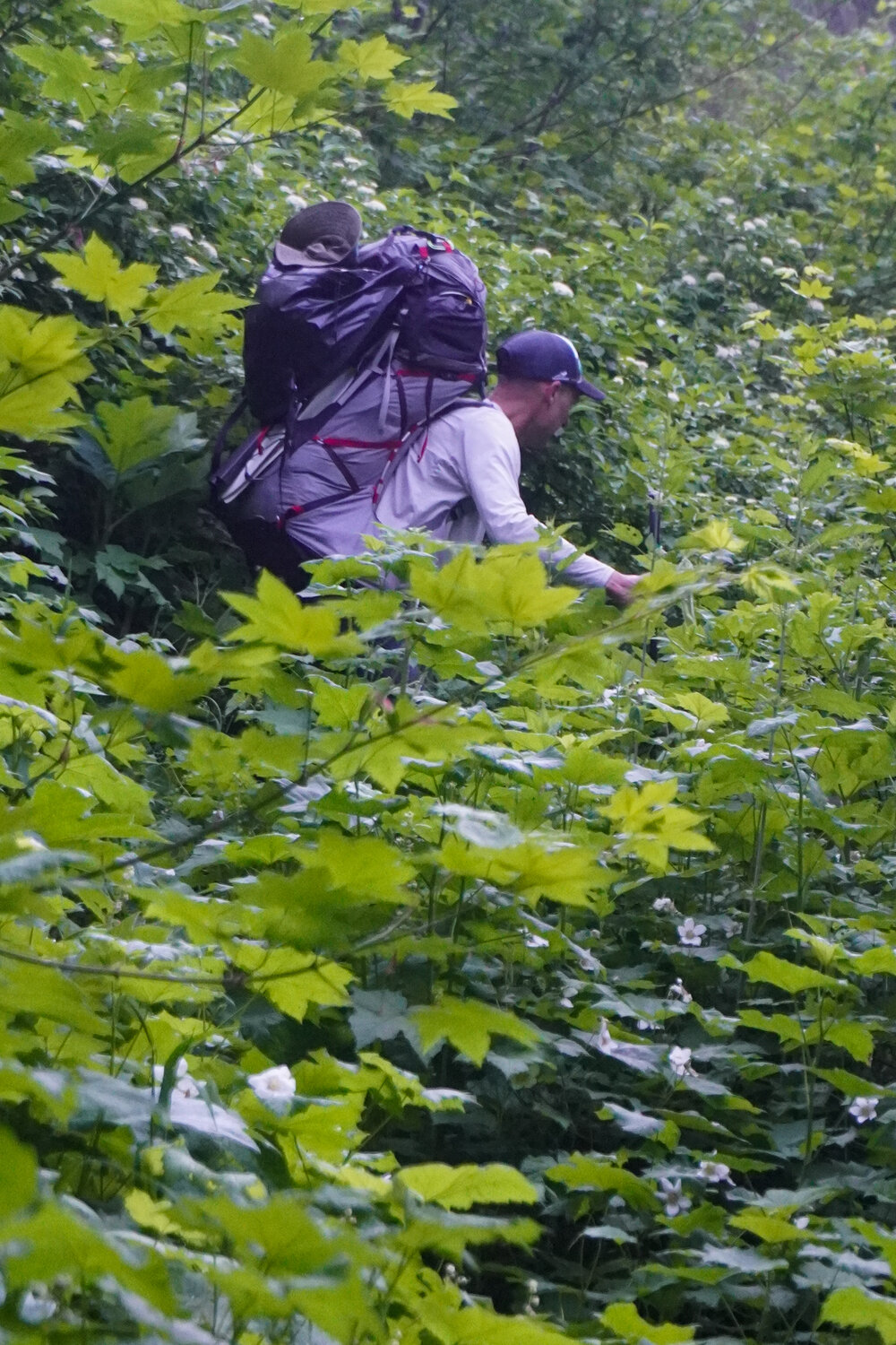
If there is one thing more prolific than Fred Beckey in the North Cascades, it's bushwhacking. I’ve spent weeks slogging through alder and devil’s club, but searching for one of Beckey’s trails at the far end of Chilliwack Lake was on another level.
Beckey’s map showed an established trail climbing to a remote cirque south of Mt. Lindeman. I found a rough trail that meandered through a grove of exquisite old-growth cedar and Douglas fir in the valley, but lost it when I crossed the Chilliwack River. I climbed through the brush for a few hours in search of the remnants of an old trail – markers, cut logs and old tread – but found nothing. I couldn’t even pick up a decent game trail.
I gave up after a few hours. I wasn’t surprised the trail had disappeared. It was remote, hard to access and ran right along the U.S.-Canada border. I explored a few of the other routes on Beckey’s map and found a mix of access conditions. Some areas were still popular trails and routes, maintained by land managers and volunteer trail crews. Others had disappeared entirely, wiped out by logging operations and wildfires. Most of the cross-country high routes were still navigable. I even found a few old cairns on ridgelines that had probably only seen a handful of visitors since Beckey published the map.
“I've lived here my entire life, that's 30 kilometers by the crow from my house, and I don't know anyone who's ever been there,” Waddington said, pointing to a high route along a ridgeline above the Skagit River Valley. “How wild is that?”
To Waddington, that’s the appeal of maps like this; a look back at history and inspiration for grand adventures.
“This map came out 40 years ago,” he said. “These zones are still as wild, or more wild, than they were even at the time when Fred was exploring them.”
A copy of Beckey’s map can be found at the Western Washington University library in Bellingham. X